The Historic Sunset Highway
in Washington
Frenchman Coulee
The Historic Sunset Highway
in Washington
Frenchman Coulee
Frenchman Coulee
Frenchman Coulee is one of the most beautiful features left behind by the great Ice-Age floods. Frenchman Coulee is a dual coulee and cataract system. Like its neighbor to the north, Potholes Coulee, Scabland floods created Frenchman Coulee.
During the first stages of flooding, the water levels between the flood-filled Quincy Basin and the Columbia River immediately west of Evergreen Ridge approached 700 feet over just a few miles.
This incredible difference in water levels caused floodwaters to relentlessly eat away the underlying rock layers. Erosion continued for at least as long as it took for the water level in the Columbia Valley to rise to about 1200 feet, or until the floodwater supply was exhausted.
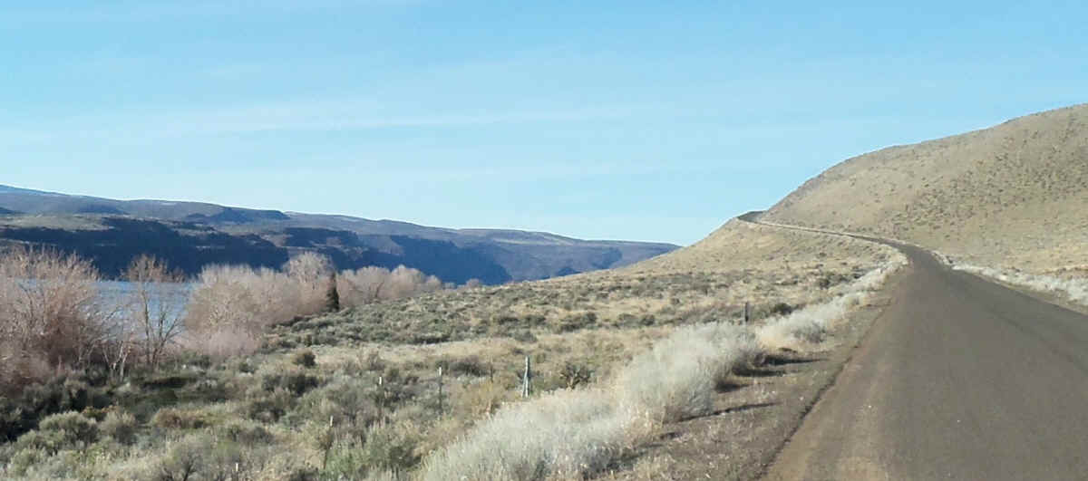
In 1922 the Vantage to Wenatchee route of the Sunset Highway was improved in 1922 and we realigned through the Frenchman Coulee. This is the lower part of the road you can drive on until it disappears into the Columbia River as part of the boat Launch.
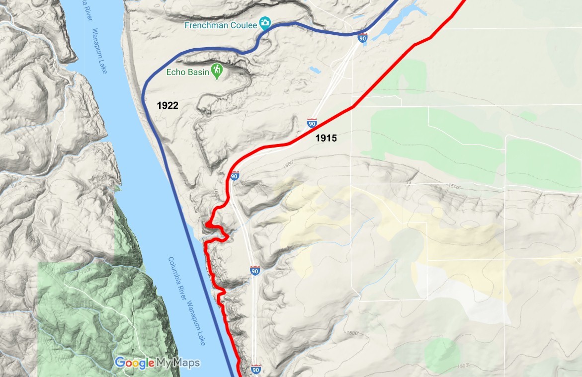
Current map showing the Frenchman Coulee. 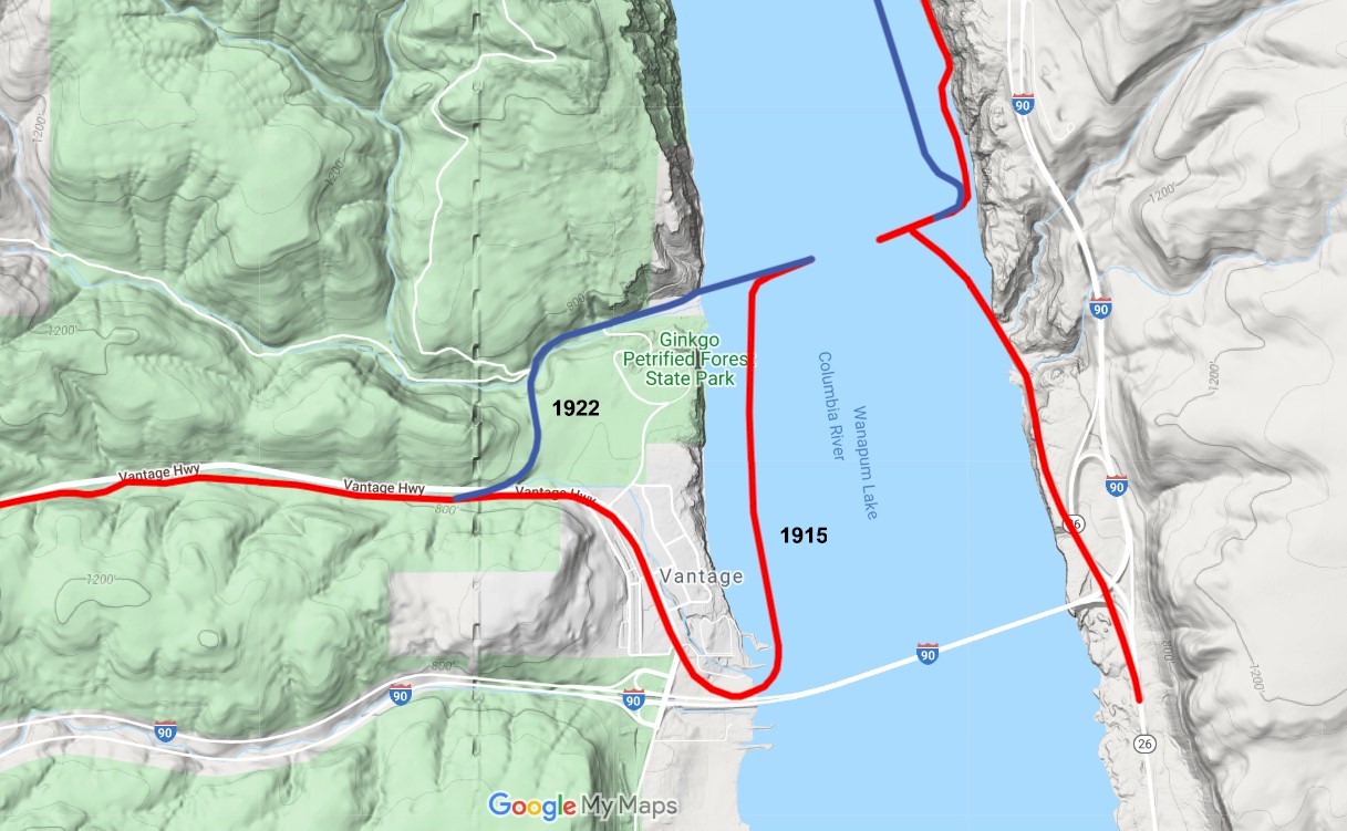
Current map showing Vantage 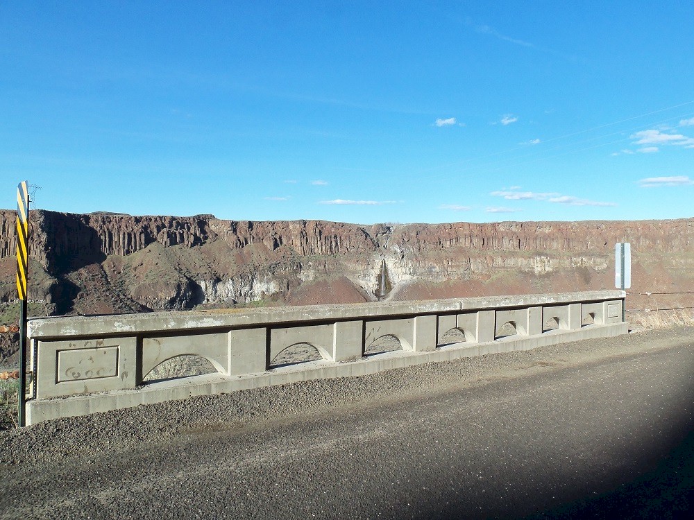
Looking north 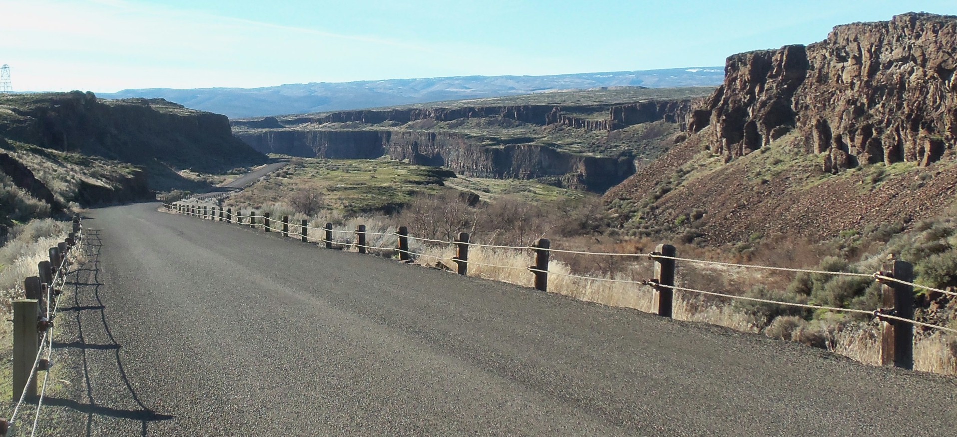
Looking west |
Looking north 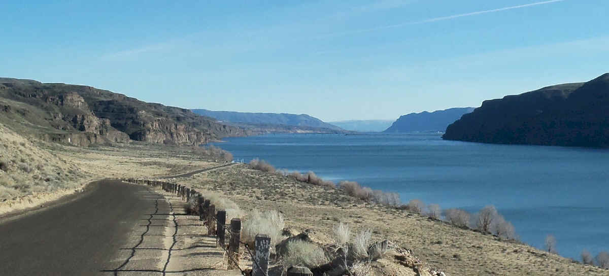
Looking south. 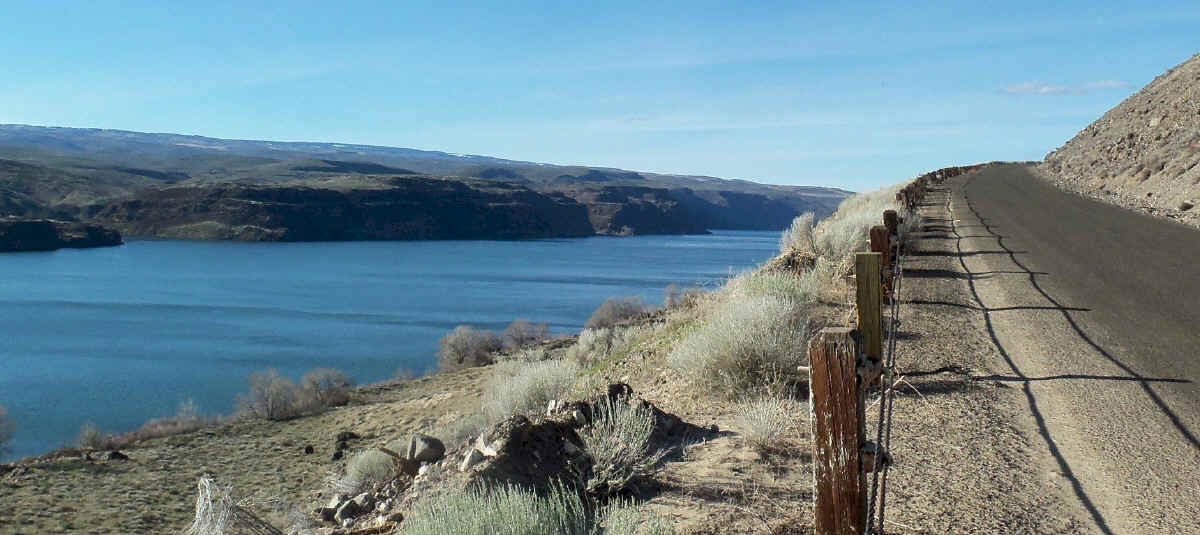
Looking north 
Looking northwest |
![]()
©2014 - 2020 sunset-hwy.com
All Rights Reserved